Interactive location maps, completely custom designed with colors, shapes, dynamic layers, and your own data. All adjusted to the specific needs of your business.
.02
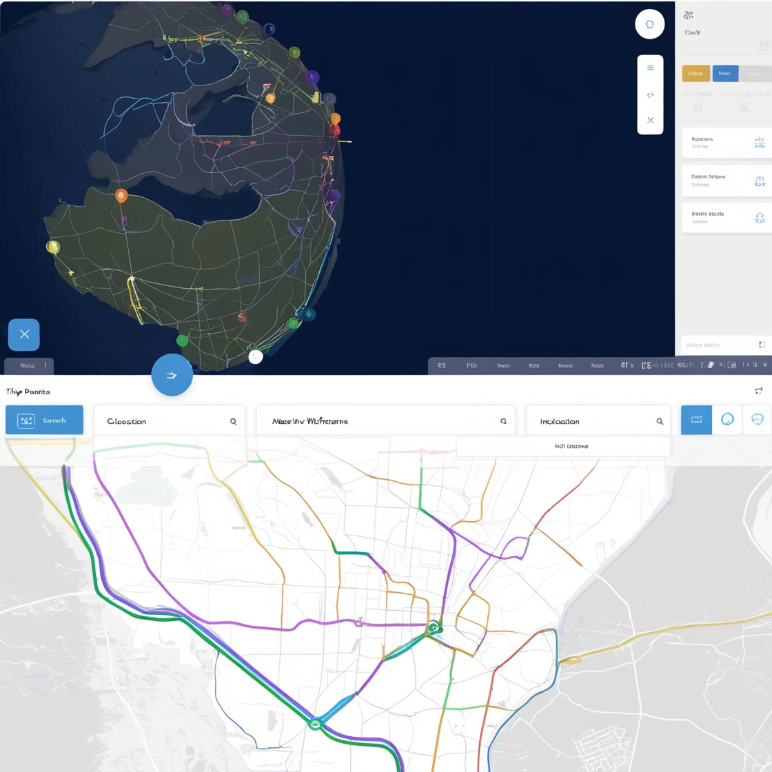
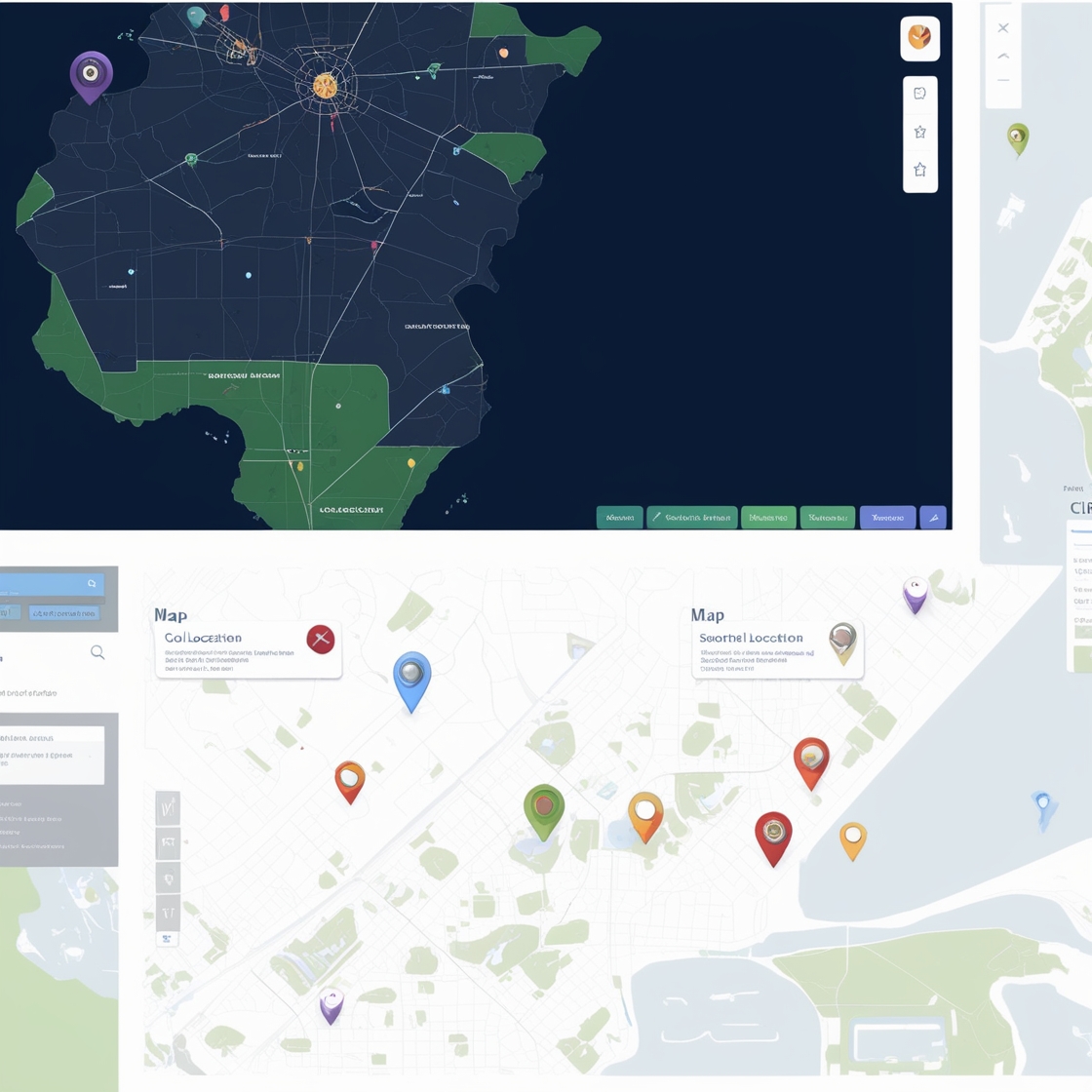
Routes, polygons and markers
Creative and engaging maps that can highlight key areas with polygons, dynamic routes, and custom markers to enrich the visual experience.
.03
Cross-platform rendering
These maps are optimized for rendering in mobile applications and web environments, providing access to high quality maps on any platform.
.04
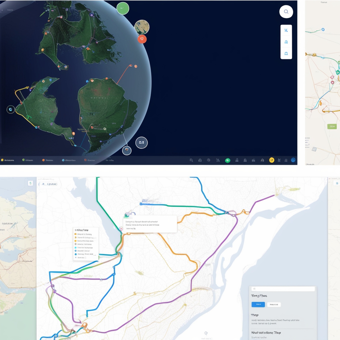
Interactive 3D maps
There is an option to visualize data with three-dimensional representations, to explore the information in a clear and attractive way.
.05
Real-time data integration
Temperatures, CO2 levels, forest cover and more. To visualise changes instantly and make quick and effective decisions.
.06
Custom interactivity
Tailor-made dynamic experience, optimised to visualise and explore your data in an interesting and efficient way.
Use Cases
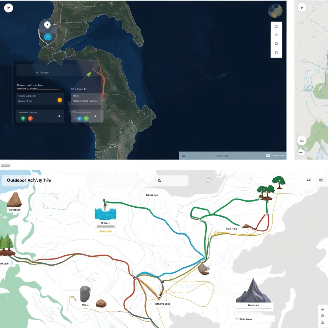
With a custom interactive map you can tailor every detail to your needs.
Highlight specific routes for adventure sports, add custom locations according to points of interest, include dynamic information panels that are updated in real time…
It is an ideal tool to offer experiences of exploration and discovery.
In addition, it can include advanced filters to show only relevant information, such as weather conditions or difficulty level of each route.
Quality Assurance
We offer solutions based on open-source software, finding the best choice for your project and ensuring that your application will remain up-to-date, secure and efficient for many years to come.